Cycling
Rides through the Cotswolds and beyond.
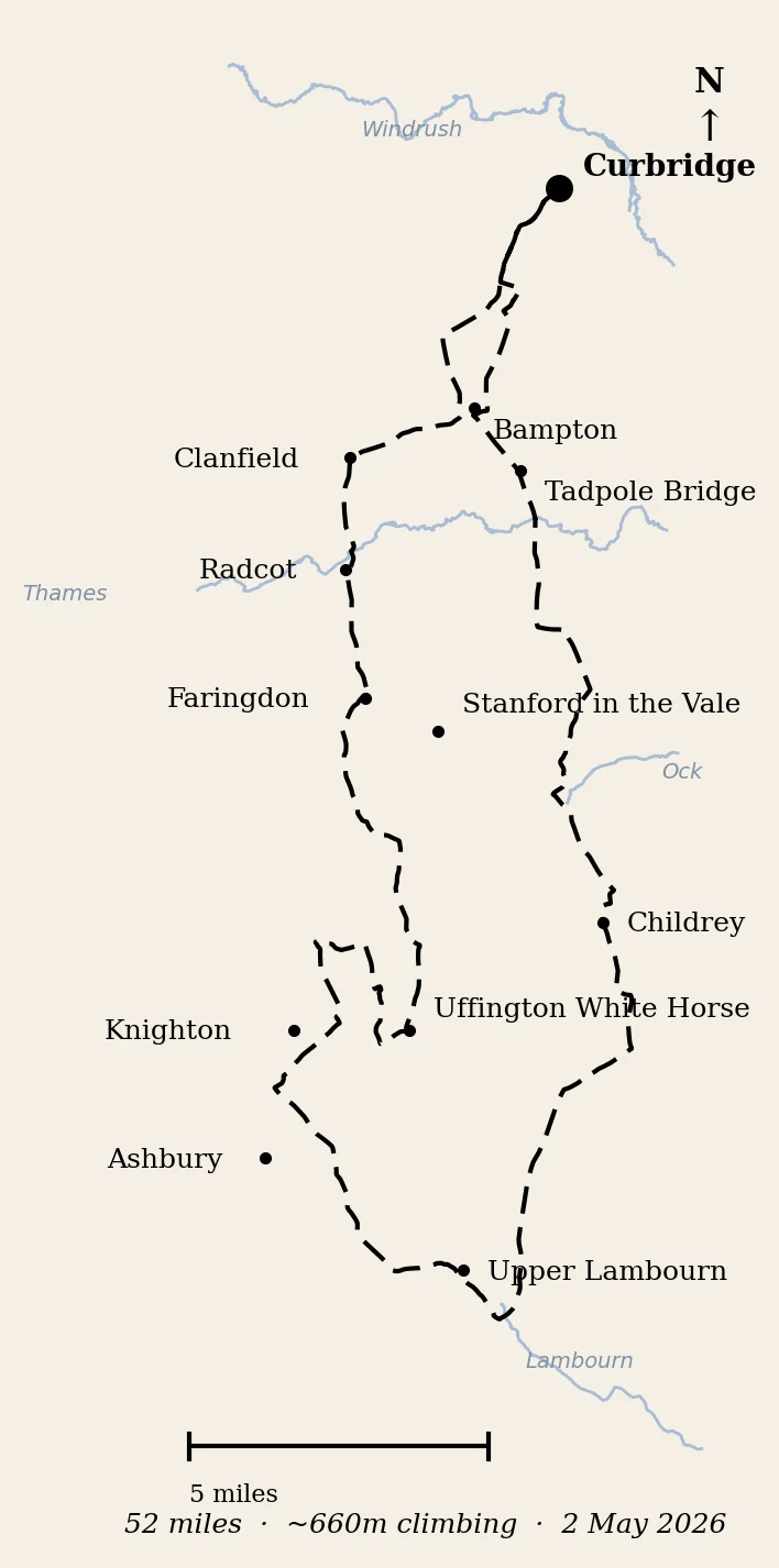
The Red Line
Witney to the Berkshire Downs and back, on a Saturday in May
Fifty-two miles to the Uffington White Horse and the valley of the racehorses, with two crossings of the Ridgeway, the first puncture and the first fall of the year, and a Galaxy on approach to Brize.
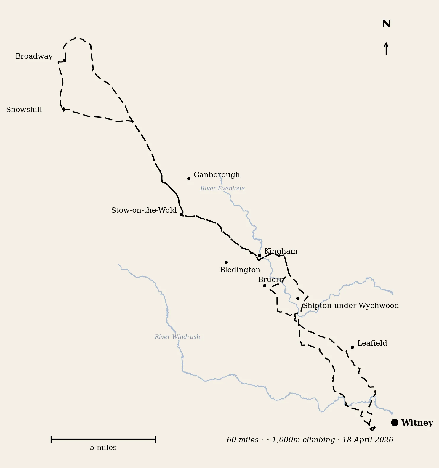
Nineteen Hills
Witney to Broadway and back, on a cold spring Saturday
Sixty miles of Cotswold lanes, three red kites, a field of Belted Galloways, one walked section on the escarpment near Broadway Tower, and a raspberry flapjack at Ganborough.
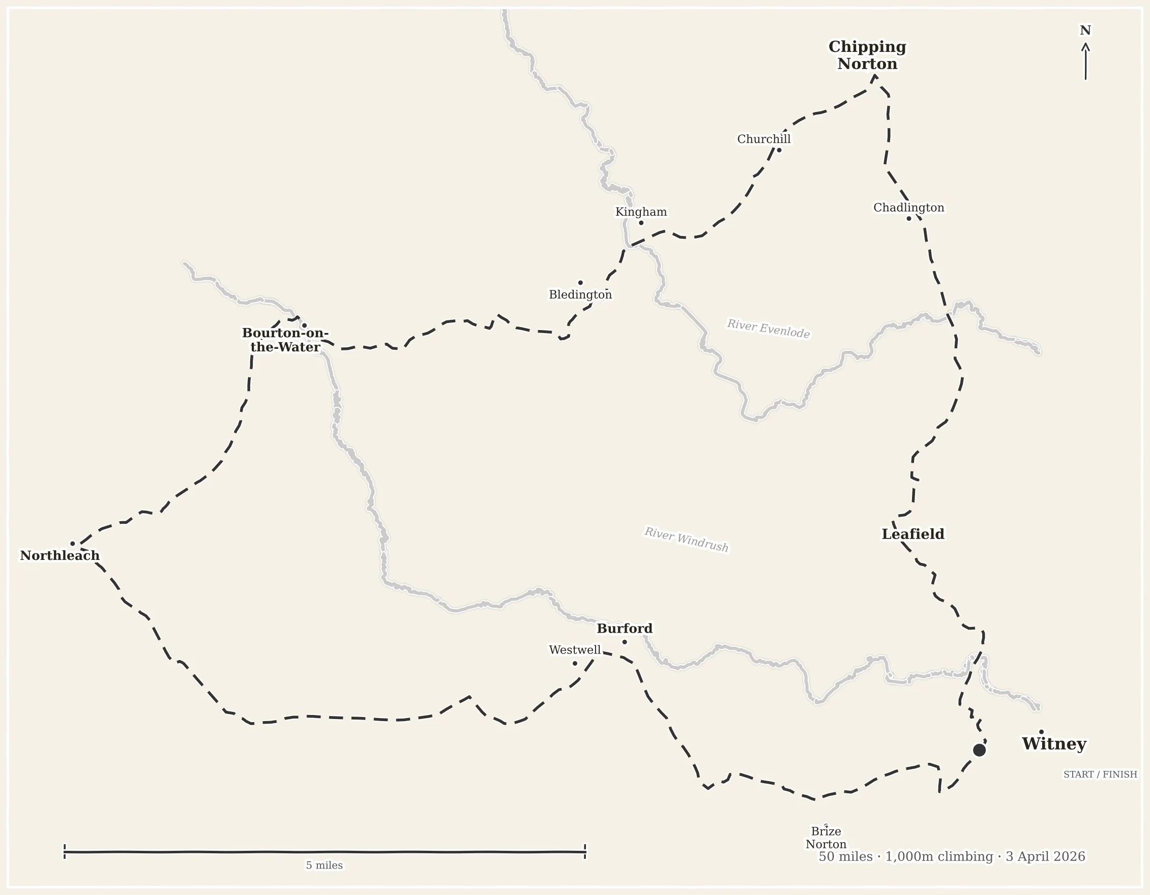
The Altitude Account
A Good Friday ride through the north Cotswolds
Fifty miles from Witney to Chipping Norton and back, via Wychwood Forest, Bliss Mill, baby lambs, and a war memorial with a clock numeral from Ypres.
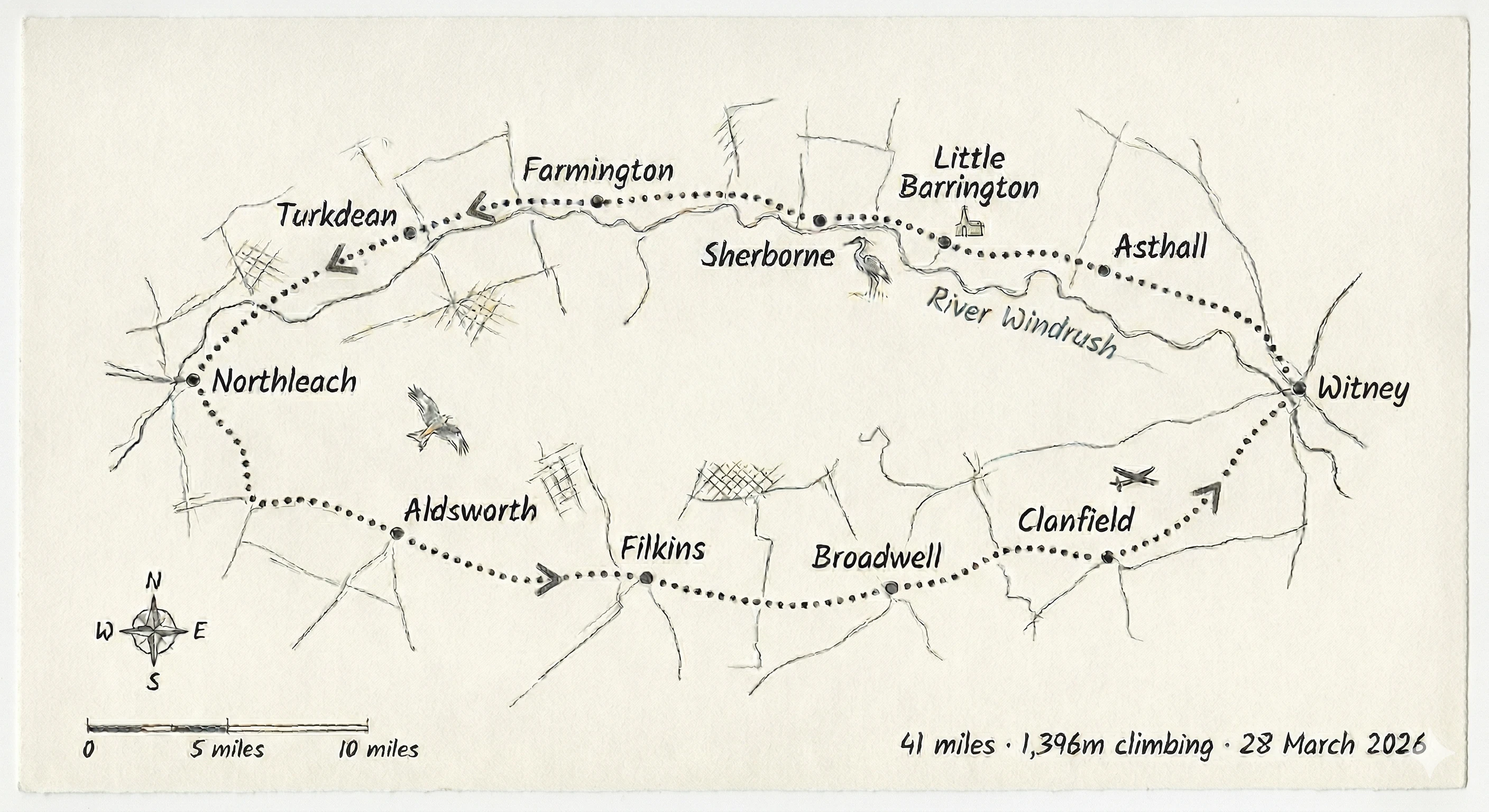
The Bright Stream
A spring ride through the Cotswolds
From Witney through the Windrush Valley to Northleach and back, via Norman churches, red kites, and six thousand years of farming.
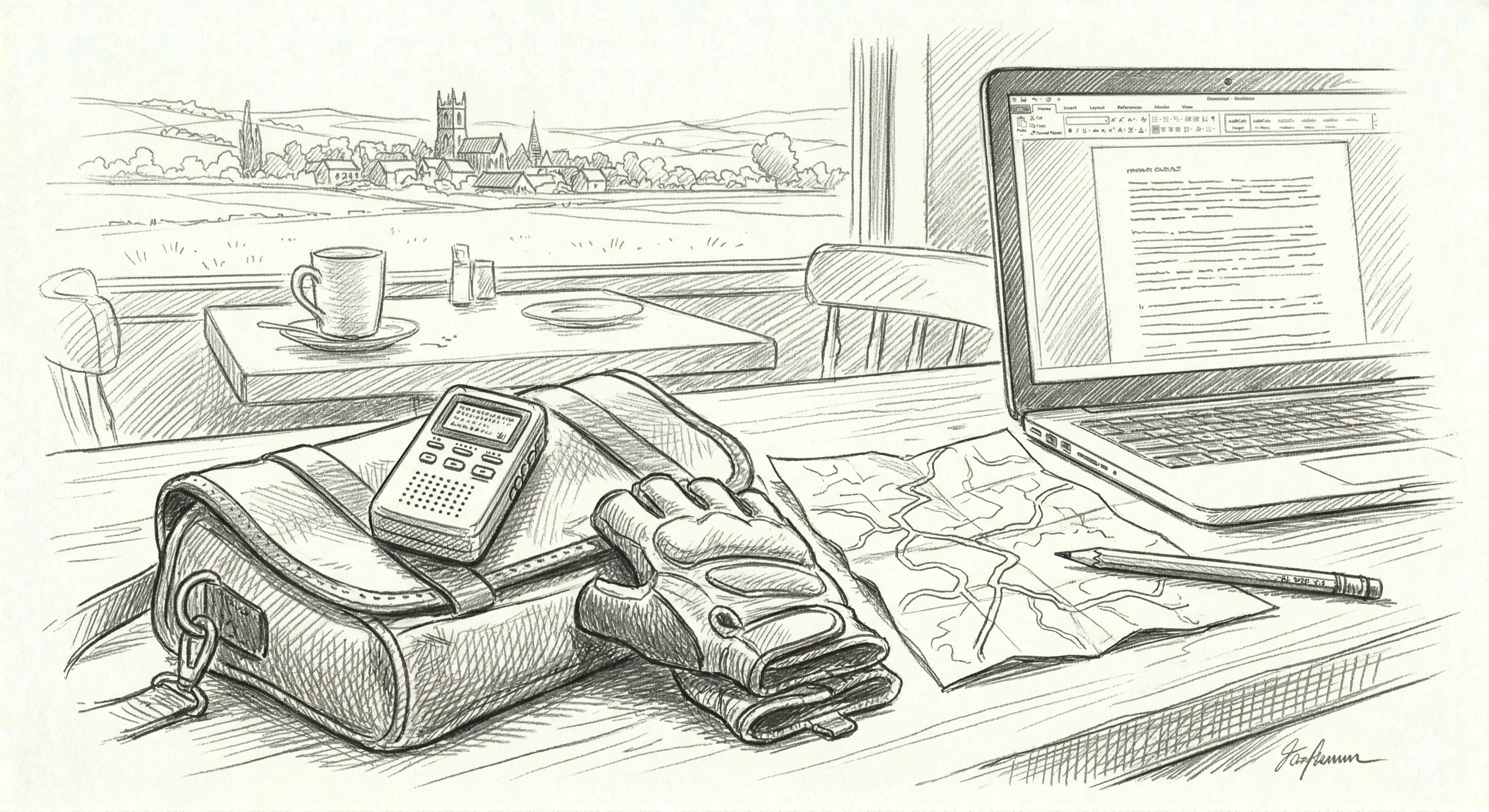
How This Was Made
Voice notes, AI, and the process behind the writing
From handlebar ramblings to published travelogue in an afternoon: transcription, research, prose, illustrations, and a live website.